Disclaimer: This material is being kept online for historical purposes. Though accurate at the time of publication, it is no longer being updated. The page may contain broken links or outdated information, and parts may not function in current web browsers.
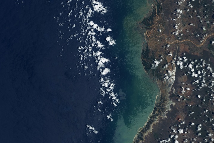
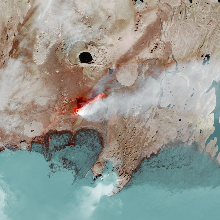
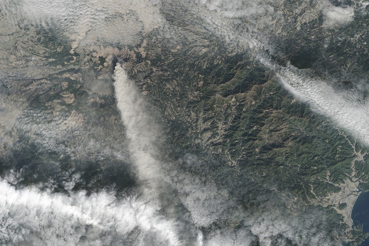
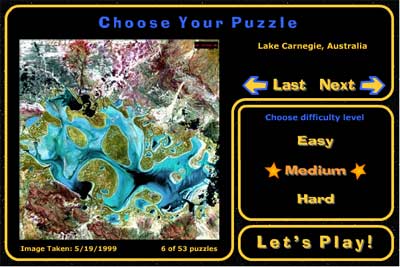
Some of the images in the Spuzzled game seem to be of some strange other world. Surely they are not pictures of our own Earth! The view of Earth from space is very different from the view at ground level. We can really see the big picture. We can see mountains and valleys, rivers, forests, lakes, farmlands, and shorelines. We can see volcanoes erupting, wild fires burning, and ice sheets forming and melting.
Text Version
Who or what made these pictures?
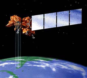
High above us, the Landsat satellites gather information about Earth. They send the data to ground stations around the world.
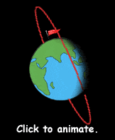
The Spuzzled images are from Landsat 7. Landsat 7 is in a polar orbit. That means it goes (nearly) over the North Pole and the South Pole, so Earth turns underneath Landsat.
Landsat 7 has a very special Earth-observing instrument called the Enhanced Thematic Mapper Plus (ETM+). It can "see" features on the ground that are as small as 15 meters (49 feet) across. So, it couldn't see a car, but it could probably see a house. This instrument can see colors of light that human eyes cannot see. That is why the Landsat images seem so colorful. They have been color enhanced to help our human eyes see all the details and colors the Landsat instrument sees.
Scientists from all over the world can get Landsat data for specific locations and times to study. The images and other data from the Landsat satellite are used to monitor changes in Earth's climate and environment.